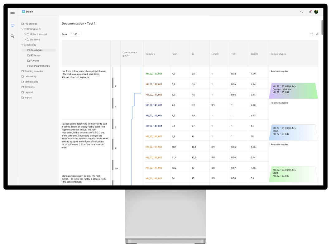
Automatic construction of geological column.
Fast. Accurate. Visual.
In the Dolon ecosystem, a scalable image of the column is drawn as soon as you enter data.

Enhance geological data processing with accurate data due to visual representation and built-in triggers.
Dolon is the cutting-edge solution for geological data processing
Documenting first and then building a column without taking scale into account is an outdated paper-based method that not only takes more time, but is also fraught with inaccuracies and errors.
The Dolon ecosystem offers automatic geological column generation in a visual format as soon as data is entered in an intuitive web interface.
Dolon geological column construction is scale-aware, the sampling data and its length will visually correspond to the geological interval. This greatly simplifies data collection, and special triggers when filling in information minimise possible errors.
Automatic geological column generation in Dolon - improves convenience, speed and accuracy of geological data processing.
The tool is developed taking into account the real needs of specialists and allows to efficiently perform tasks at all stages of geological exploration.

Taking scale into account
When logging in tabular form, you get two equal lines, e.g. for 5 and 20 metres of rock. In the Dolon ecosystem, the data is displayed in a scale-aware visual format - easier to understand and easier to work with.

In visual format
In addition to the classic column, Dolon offers a unique function for visualising and logging trenches. Visualisation can be done both in the old-fashioned way and in the form of 3D models. From such a model you can take data and calculate any volumetric characteristics, e.g. the width of overburden.

Without errors
Automatic triggers to detect errors and more visual information when working with geo-columns - the system prevents you from entering information with critical errors.

From the experts
Drilling, geology and sampling - in a tabular format, all data is usually entered by one specialist. Dolon allows you to quickly and comfortably collect data directly from those responsible and automatically collate it in a unified interface for further processing.